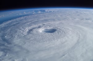
Hurricane Francine
MIS RESPONSE TO THE FOURTH HURRICANE OF THE 2024 ATLANTIC HURRICANE SEASON
THE LATEST HURRICANE TO MAKE US LANDFALL
Francine became the sixth named storm of the 2024 Atlantic hurricane season after it formed as a Tropical Storm in the Gulf of Mexico on 9 September.
By 11 September, Francine had strengthened into a Category 2 hurricane.
Shortly after reaching hurricane status, Francine made US landfall in the coastal parish of Terrebone, Louisiana at 5pm local time on 11 September.
As it moved inland towards New Orleans, Francine quickly weakened back to Tropical Storm status.
Late on 12 September saw Francine weaken further and be re-classified as a post-tropical cyclone.
As of 13 September, Francine was moving slowly around 90 miles north-west of Memphis with wind speeds reaching just 25mph.
THE MIS RESPONSE
The MIS team released the Pre Event Report on GEO for Hurricane Francine on 10 September, which showed the Predicted Track, Predicted Arrival Times, and Cone of Uncertainty.
On 11 September, the product on GEO was updated with new Predicted Tracks, Predicted Arrival Times, and a new Cone of Uncertainty.
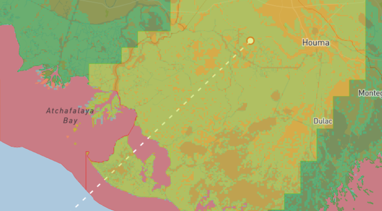
After Francine made landfall in Louisiana on 11 September, the MIS team added an Exposure Layer to the GEO report on 12 September, which featured a multi-peril breakdown with unique Wind and Flood Exposure Grids for potentially affected areas alongside an initial damage estimate, as well as Wind Speeds and Power Outages.
MIS released a final update to the event on GEO on 13 September, which featured an expansion of the Flood Exposure Grid and the latest information regarding Power Outages, as well as the Confirmed Tracks and Arrival Times.
RELEASE TIMELINE
- 13/09/2024
- 12/09/2024
- 11/09/2024
- 10/09/2024
Final Update
500m x 500m Flood Exposure Layer expanded to cover additional areas in New Orleans. Predicted path, arrival times and Power Outages updated.

Exposure Report
5km x 5km Wind Exposure and 100m x 100m Flood Exposure Grid, Power Outages, Track, Arrival times and Wind Speeds added. Updated predicted paths, predicted arrival times and cone of uncertainty.
Pre Event Report
Pre Event Information updated including predicted tracks, predicted arrival times and cone of uncertainty

Pre Event Report
Pre Event Information added including predicted tracks, arrival times and cone of uncertainty.

.png?width=300&name=misgeo.io_(High%20Res%20Screenshot).png)
LOGIN TO GEO FOR ACCESS TO
Wind Exposure Grid
Flood Exposure Grid
Wind Speeds
Power Outages
Confirmed Tracks
Predicted Tracks
Predicted Arrival Times
Cone of Uncertainty
EVENT GALLERY
-
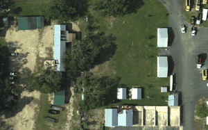
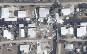
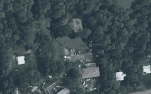
AERIAL IMAGES
-
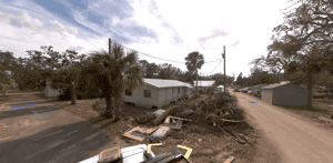
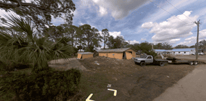
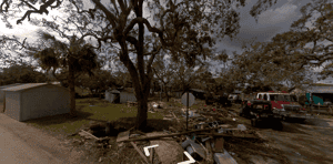
GROUND IMAGES

FULL REPORT AVAILABLE ON GEO
Don't have a access to GEO? Request a demo below or for immediate support, contact mail@mckenzeintelligence.com


