HURRICANE IDALIA
Overview of intelligence gathered on Hurricane Idalia
WHAT WE KNOW SO FAR
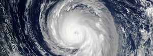
Hurricane Idalia first formed in the Caribbean Sea on August 27th. It has since intensified through the Gulf of Mexico and is expected to become a powerful category 3 hurricane. MIS intelligence analysists have determined an expected track for the storm, which indicates it is approaching the northwest region of Florida's Gulf Coast.
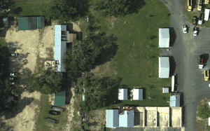
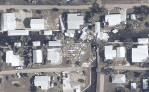
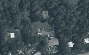
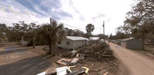
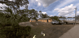
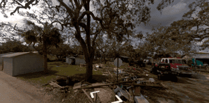
MIS imagery providers were deployed as soon as deemed safe to do so to acquire high-resolution space, aerial and ground-based imagery of the impacted areas with properties insured by our clients.
Collected imagery and data has been aggregated and analysed by the MIS Intelligence team to determine where damage occurred and to what extent.
-optimised-minV2.jpg?width=300&name=misgeo.io_(High-Res-Screenshot)-optimised-minV2.jpg)
LOGIN TO GEO FOR ACCESS TO
Pre-event report
Expected path, arrival times & cone of uncertainty
Wind and flood Exposure Grid
Potential Storm Surge and Power Outage layers
Wind and flood Claims Grid
Power outage layer
Ground level imagery
Aerial imagery
Building level damage assessment
FULL REPORT AVAILABLE ON GEO
Don't have a access to GEO? Request a demo below or for immediate support, contact mail@mckenzeintelligence.com
EVENT GALLERY
-
AERIAL IMAGES
-
GROUND IMAGES
