


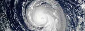
HURRICANE IDALIA
Overview of intelligence gathered on Hurricane Idalia
-optimised-minV2.jpg?width=300&name=misgeo.io_(High-Res-Screenshot)-optimised-minV2.jpg)
LOGIN TO GEO FOR ACCESS TO
Pre-event report
Expected path, arrival times & cone of uncertainty
Wind and flood Exposure Grid
Potential Storm Surge and Power Outage layers
Wind and flood Claims Grid
Power outage layer
Ground level imagery
Aerial imagery
Building level damage assessment

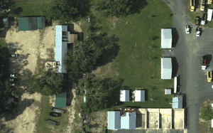
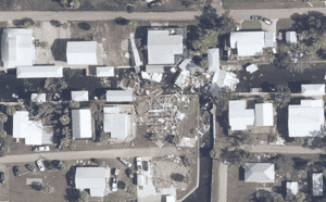
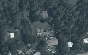
EVENT GALLERY
-
AERIAL IMAGES
-
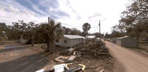
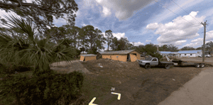
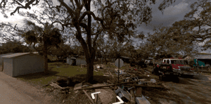
GROUND IMAGES
TOUCH
TOUCH
TOUCH
TOUCH
TOUCH
TOUCH