


JASPER WILDFIRES
THE MIS RESPONSE TO JASPER NATIONAL PARK'S LARGEST FIRES FOR A CENTURY
- 02/08/2024
- 30/07/2024
- 29/07/2024
- 26/07/2024
50cm Imagery, Building Level Damage Assessment and Claims Grid
50cm Imagery of Jasper, revised Building Level Assessment and updated 1km Claims Grid
Building Level Damage Assessment and Claims Grid
Revised Building Level Assessment and Initial 1km Claims Grid

Building Level Damage Assessment
Preliminary Building Level Assessment

Exposure Layer
Initial Observed Hotspots and Fire Perimeters

.png?width=300&name=misgeo.io_(High%20Res%20Screenshot).png)
LOGIN TO GEO FOR ACCESS TO
Portfolio, Policy and Property-Level Insights
Building-Level Damage Assessments
Claims Grid for Jasper
50cm Satellite Imagery for Jasper
Observed Hotspots
Fire Perimeters
EVENT GALLERY
-
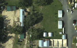
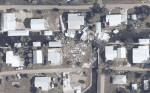
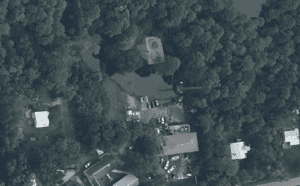
AERIAL IMAGES
-
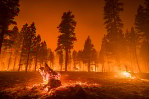
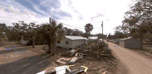
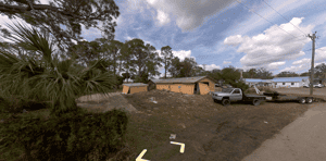
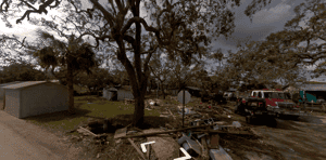
GROUND IMAGES
TOUCH
TOUCH
TOUCH
TOUCH
TOUCH
TOUCH
