SPAIN FLOODING
MIS RESPONSE TO THE DEVASTATING FLOODING IN SOUTHEAST SPAIN
A TRAGIC EVENT
On 29 October, a cold drop event in southeast Spain, primarily the Valencia region, caused a year's worth of rainfall to come down in just a matter of hours.
Areas like Chiva saw as much as 19 inches of rainfall happen over an 8-hour period, which resulted in major flooding for a number of places across the region.
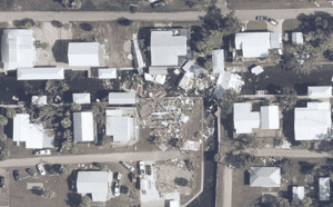
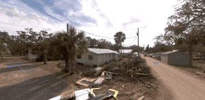
The fallout from the flooding has been extreme, with a number of widespread images and videos showing significant destruction and devastation.
Over a week after the flooding started, major rescue operations remain ongoing, where the Spanish government has sent thousands of soldiers into the region to support with recovery efforts.
Sadly, this flooding has claimed the lives at least 217 so far, with many more still feared missing.
THE MIS RESPONSE
The first GEO report for this event was released by the MIS team on 31 October, which featured an initial Flood Exposure Layer, highlighting areas across the Valencia region that may have potentially been flooded.
After further assessments, the team updated the report on 01 November to include the first Flood Claims Layer for this event, confirming where flooding was present, as well as the likely extent.
There were also updates to the Exposure Layer, which incorporated more potentially flooded areas in the region.
Over the weekend, the team collected more data around the event, and on 04 November, released updates to both the Claims Layer and the Exposure Layer.
The Claims Layer expanded to include further locations where flooding was confirmed and the probable severity.
Additions to the Exposure Layer focused on more areas potentially affected by the flooding.
The MIS team marked this event complete on 07 November.
RELEASE TIMELINE
- 04/11/2024
- 01/11/2024
- 31/10/2024
Flood Claims and Exposure Layer Update
Update to 50m x 50m Claims Layer showing estimated flood depths and update to 500m x 500m Exposure Layer depicting potential flood areas in Valencia region.

Flood Claims Layer
Release of 50m x 50m Claims Layer showing estimated flood depths and update to 500m x 500m Exposure Layer depicting potential flood areas in Valencia region.

Flood Exposure Layer
Release of 500m x 500m Exposure Layer depicting potential flood areas in Valencia region.

.png?width=300&name=misgeo.io_(High%20Res%20Screenshot).png)
FULL REPORT AVAILABLE ON GEO
Don't have a access to GEO? Request a demo below or for immediate support, contact mail@mckenzeintelligence.com
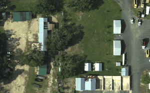
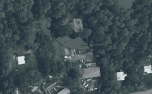
EVENT GALLERY
-
AERIAL IMAGES
-
GROUND IMAGES
